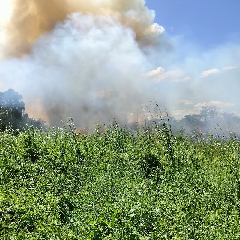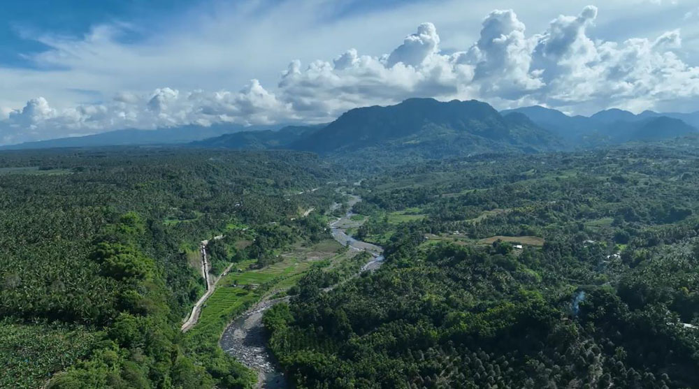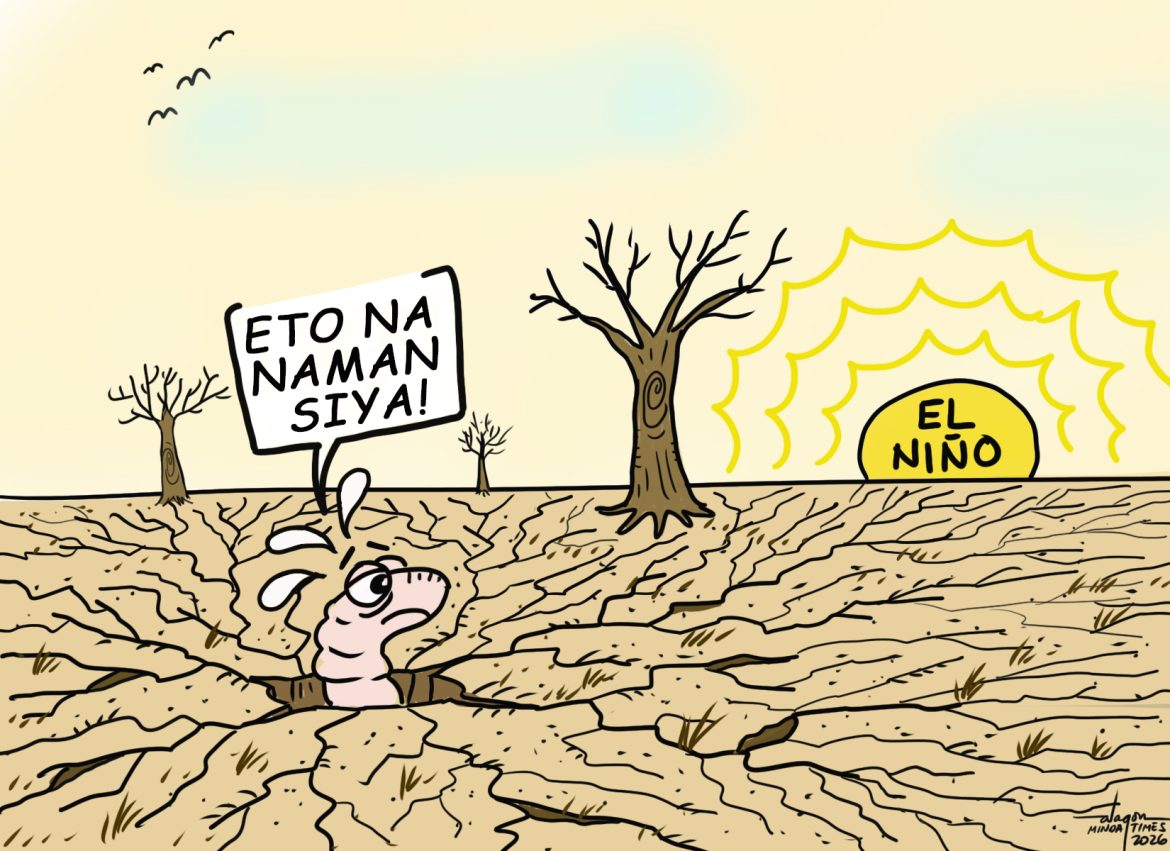


A LARGE swathe of Mindanao will likely see below-normal rainfall, more dry days, and warmer temperatures from October 2026 to March 2027, according to the latest climate outlook by the weather bureau PAGASA.
PAGASA said prevailing El Niño conditions may continue to influence climate patterns across the island as the year ends, with meteorological drought projected in several areas by March 2027.
“The coming months may bring less rainfall, more dry days, warmer-than-average conditions in some areas, and an increasing possibility of dry conditions, dry spells, and drought, particularly during the first quarter of 2027,” PAGASA Mindanao said in an advisory on Wednesday.
It added that Mindanao will experience below-normal rainfall from October to December 2026.
The deficit is projected to become more pronounced from January 2027, when “way below-normal” rainfall, defined as 40 percent or less of the usual monthly amount, is expected to become more widespread through March 2027.
PAGASA also said the number of dry days, or days with less than 1 millimeter of rain, may rise in several areas during the first quarter of 2027.
With this, the bureau stressed that longer stretches with little to no rain may therefore become more frequent.
Dry spells, drought
Dry conditions and dry spells are expected to become more frequent and affect more areas from December 2026, and to become widespread from January to March 2027, where drought is projected in several parts of Mindanao.
PAGASA clarified that the drought in the outlook is meteorological drought, which refers to prolonged below-normal rainfall.
It said this should not be read directly as an assessment of soil moisture, crop conditions, or groundwater levels.
Meanwhile, most areas of Mindanao are projected to be slightly warmer to warmer than usual from October 2026 to March 2027.
PAGASA said higher temperatures speed up the evaporation of soil moisture, which may worsen dry conditions.
“They can also increase heat stress among people, livestock, and crops, especially when combined with prolonged periods of below-normal rainfall,” PAG-ASA said.
Fewer cyclones, but risk remains
Around three to seven tropical cyclones are expected during the October-to-March period, with the number generally decreasing toward the early months of 2027.
However, PAGASA said climatological tracks indicate cyclone activity may shift farther south in the latter part of 2026 and early 2027.
“Mindanao may still experience tropical cyclone impacts even as fewer systems are expected overall,” the bureau said.
PAGASA clarified that El Niño does not mean rain will stop altogether.
Tropical cyclones, shear lines, easterlies, the Intertropical Convergence Zone (ITCZ), localized thunderstorms, and low-pressure areas can still bring rain to different parts of Mindanao.
The agency said the outlook is a guide to possible conditions and urged the public to monitor its updated forecasts and advisories to prepare for possible impacts.